Then and now
Seven towns, then and now
The old town plans of the St. Joseph River Valley, each laid over the streets of today. Fade from one to the other, or drag a line across and see them side by side. In every town, at least one street has changed its name since the plan was engraved. Find them all.
12 renamed streets in all.
Find your first and you earn the Street sleuth badge. Find all 12 and you are the hunt’s Town surveyor.
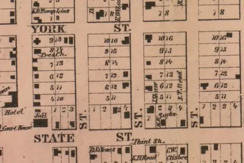 1860Cassopolis
Lined up on 19 street corners, within about 5 yards
1 renamed street to find
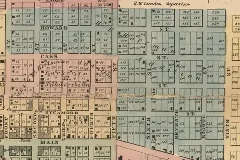 1860Niles
Lined up on 43 street corners, within about 4 yards
2 renamed streets to find
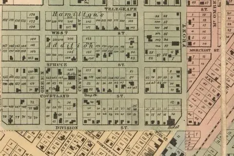 1860Dowagiac
Lined up on 33 street corners, within about 3 yards
3 renamed streets to find
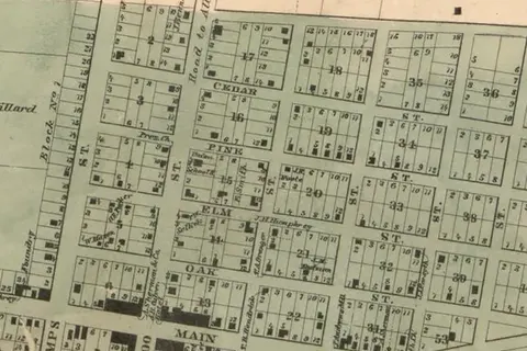 1860Paw Paw
Lined up on 30 street corners, within about 4 yards
1 renamed street to find
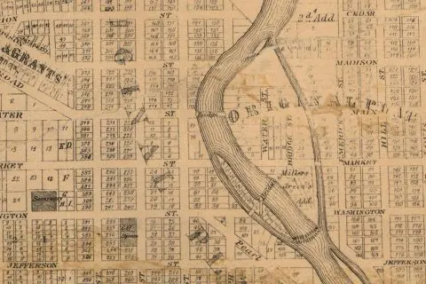 1863South Bend
Lined up on 18 street corners, within about 9 yards
2 renamed streets to find
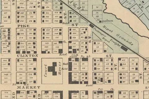 1861Goshen
Lined up on 40 street corners, within about 4 yards
2 renamed streets to find
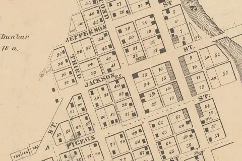 1861Elkhart
Lined up on 24 street corners, within about 3 yards
1 renamed street to find
How they were made
Each plan was matched to today’s map by measurement, on street corners that appear on both: the corners that still carry their old names, plus the few whose new names we were sure of. The plan was then stretched and turned, as little as it would go, to fit them. Where a street has bent, jogged or been widened since, it was left out of the fit, and each town’s page says which.
Michigan plans: Map of the Counties of Cass, Van Buren and Berrien, Michigan (1860), Library of Congress. South Bend: M. W. Stokes, Map of St. Joseph Co., Indiana (1863), Library of Congress. Goshen and Elkhart: Map of Elkhart Co. Indiana (1861), American Geographical Society Library, University of Wisconsin–Milwaukee Libraries. All public domain. Today’s streets: © OpenStreetMap contributors.