Cass County, Michigan
Cassopolis, Michigan its history, in the record
County CassPlatted 1831County seat since 1831Named for Lewis Cass
Cassopolis, 1860 and todayWalk old BroadwayBroadway in 3DOn the valley map
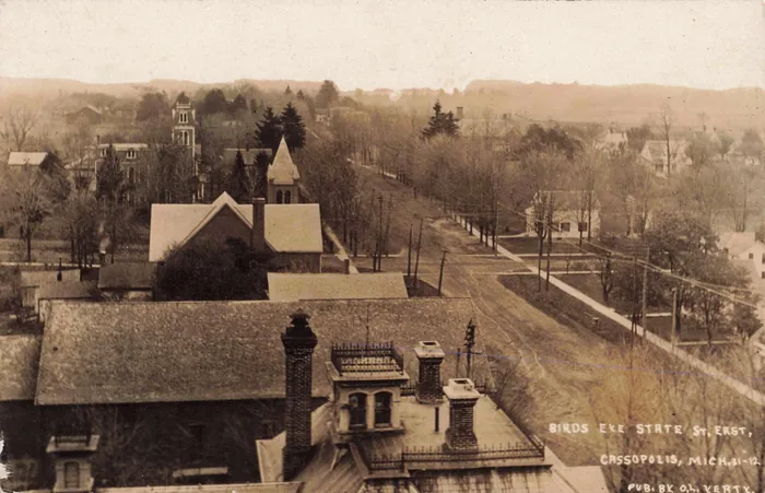
Cassopolis is the county seat of Cass County, Michigan, platted in 1831 and named for Lewis Cass, then governor of Michigan Territory. This page gathers what Project Scroll has opened so far on the village and its county: the maps, the county histories, the certificates and the newspapers, with a link to each record where it is held.
The village at a glance
- Founded: platted 1831; chosen as county seat the same year, a compromise between rival settlements.
- Named for: Lewis Cass (1782–1866), governor of Michigan Territory 1813–31, later Secretary of War and of State.
- First published histories: Howard S. Rogers, History of Cass County, from 1825 to 1875 (Cassopolis, 1875); Alfred Mathews, History of Cass County, Michigan (Chicago, 1882); L. H. Glover, A Twentieth Century History of Cass County (Chicago, 1906).
- On the map: the 1860 Geil & Harley wall map of Cass County, held by the Library of Congress, carries a plan of the village with lot numbers and owners; you can lay it over today’s streets, and the county’s township sheets of about 1928 are in the map room.
- Vital records: Michigan death certificates from 1897 are free to read at the Archives of Michigan; here is how to read one.

What the hunt has found in Cassopolis
The hunt began here, with a joke secret society of 1846 whose story is told in Rogers and Mathews, a village hotel that was hauled across town and turned into a mill, and a doctor who kept a bone. Each is an open case on the case board; the first two are listed here, and each has its sources free online.
- Who told Shepard the story of the 1846 lodge?
- Where did the Union Hotel go when it became a mill?
- Document of the month: one page of Rogers, 1875, read slowly
- The practice case: one letter, two certificates
Next door, 1860 and 1928
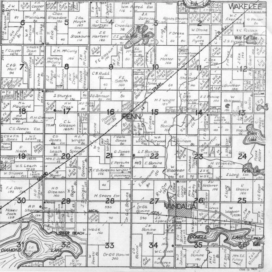
Penn Township is the ground just east of the village, with Diamond Lake in its south-west corner and Vandalia on the railroad. Here it is twice: as the 1860 wall map engraved it, and as a plat book drew it about 1928. The square mile sections are the same, so the two line up. Slide across and watch sixty-eight years of owners change hands.

The hotel corner, thirty years on
In 1860 the engraver wrote one word on the block by the court house: HOTEL. Twenty-four years later the Sanborn Map Company drew the same corner building by building, for the insurers. The court house and post office face Broadway, the county jail and the sheriff’s house stand behind them, and across the street stands a hotel under a name the 1860 directory never lists. Is it on the ground where the 1860 hotel stood? Lay the two maps side by side and decide for yourself.

On old postcards
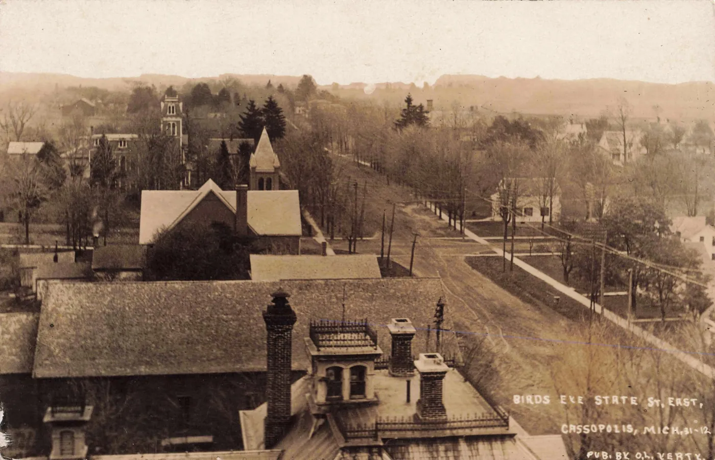
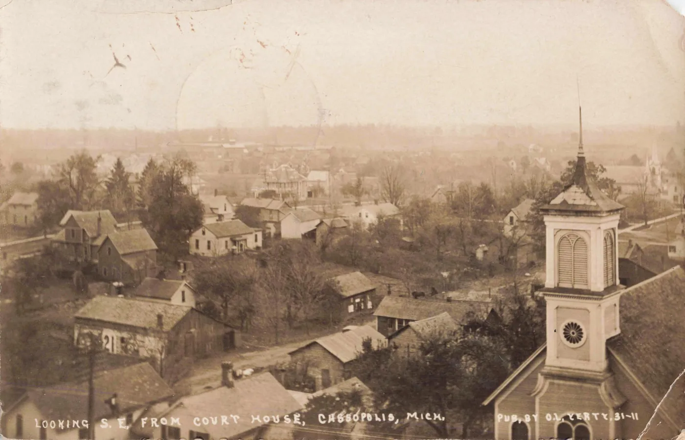
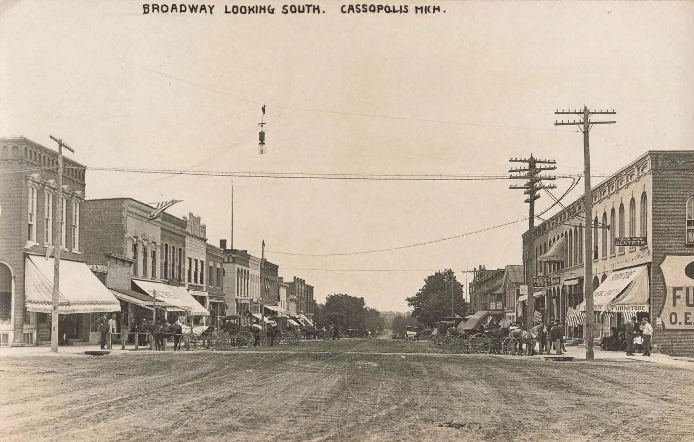
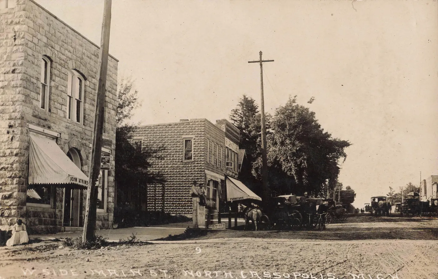
From public-domain postcards and photographs, each linked to the library that holds it. See them all.
The other towns of the valley
Dowagiac · Niles · Paw Paw — each with its history in the record and its 1860 plan laid over today’s streets.
Where to look next
For Cassopolis families and property, start with where the records are: the county histories at the University of Michigan, the General Land Office tract books, the 1860 wall map, Michigan death certificates, and the Cass District Library’s Local History Branch in Cassopolis itself. The glossary explains the words the old records use.
Project Scroll is independent research and is not affiliated with the Village of Cassopolis, Cass County, or any historical society. Corrections are welcome at research@projectscroll.com.