Cassopolis · Broadway in 3D
Walk Broadway, from the courthouse square to Stone Lake
The whole county seat, built in three dimensions from the 2015 laser survey: every building at its measured height, every tree the laser found, the streets and sidewalks laid on the ground, and the country around it out to Stone Lake and Diamond Lake. Walk it, fly over it, or let the guided walk take you down Broadway stop by stop.
Double-click anywhere to go there · click the little map to jump · Walk: W A S D, drag to look, Shift to hurry · Fly: drag to turn, scroll to zoom, W A S D to slide, Q/E down and up
3D model © 2026 Project Scroll · projectscroll.com · Data: USGS 3DEP · USDA NAIP · © OpenStreetMap contributors · Overture Maps
Loading Broadway…
What you can do here
- Show the town. A hands-off flight from high over Cassopolis down to the square, along Broadway to the Pioneer Log Cabin, and out over Stone Lake.
- Guided walk. Down Broadway at walking pace, stopping at each story on the Broadway walk and at 11 places the 1909 fire map names. Back, pause, next and a faster pace are on the bar at the top; answer the quick question at each story to earn its stamp.
- Walk or fly. Walk with W A S D (or the round pad on a phone) and drag to look; in the air, drag to turn and scroll to come closer. Double-click anywhere, or click the little map, to go there.
- 1909 shops. 42 shops and places from the Sanborn fire-insurance map of January 1909, each hung with a painted sign where it stood: the banks, the saloons, the drug stores, Hotel Goodwin, the Opera House, the hitch sheds. Slide Time to 1909 and they come out on their own.
- Time. Lay the 1909 fire map, or the 1860 town plan, on the ground.
- Cassopolis about 1846. Slide Time all the way back for the village the lodge of E Clampus Vitus knew: the Union Hotel and the court house of 1841 rebuilt from the county histories, with the other buildings the histories record: Sherman’s frame house of 1832, the Old Red Store, Kingsbury’s store, Henderson’s double log tavern, the log jail of 1834 and Root’s Cassapolis Hotel (click any of them for its source). Dirt streets, oxen and lumber wagons, horses at the rail, pigs in the street, and people in the dress of the 1840s. Play the story of the lodge tells it in nine scenes in James M. Shepard’s words of 1875, from the four founders and a blindfolded candidate to the ball and the lodge’s end; Step into the ball room takes you to the dance, with a fiddler, candles and a longways set (imagined: no record describes the hotel’s rooms). In winter, snow falls, sleighs leave tracks and jingle past, and with sound on you hear the fiddle from the street (the story of the lodge).
- Laser points. The survey itself: 775,557 laser echoes off the rooftops (gold) and trees (green) around the courthouse, exactly where they fell.
- Lake depths. Diamond Lake’s depth lines, from the state’s lake map, laid on the water.
- Look through the postcard. At the stops with an old postcard, the view moves to where the photographer stood, and a slider fades between the card and the street today.
- Broadway in 1909. With Time at 1909 and your feet on the ground, the cars, street lamps and signs of today give way to a dirt street, hitching posts with horses and buggies, and wooden telephone poles, with an arc lamp hung over the crossing as the 1909 postcard shows it.
- Seasons and sound. Summer, autumn colour or winter snow, and, if you turn it on, birds, the church bell, water at the lake, your footsteps, and horses in 1909 or a passing car today.
- Project Scroll stories. Red scroll pins mark the places our stories happened: the Union Hotel corner, Hotel Goodwin, the courthouse that became the Colonial, the log that 3,000 people came to watch, Stone Lake and Diamond Lake.
- The 1909 shop hunt. Find all thirty-four storefronts of 1909 for a badge.
- Diamond Lake, the resort years. A steamer ride round Diamond Lake past the sites of Forest Hall, the island hotel, the wreck of the South Bend and the other resorts, with what the record says at each.
- Measure. Click two points for the distance between them and the rise; click a building for its height from the laser survey.
- For classrooms. A six-task lesson in the model, for grades 3 to 8: the time slider, the 1909 signs and the measuring tool. More on the For classrooms page.
- In VR. On a Meta Quest or Apple Vision Pro, open this page in the headset’s browser and press Enter VR to stand in the street at full size.
- For libraries and museums. Kiosk mode for a public screen (
projectscroll.com/map/3d/cassopolis/#kiosk), and an embed code to show the model on your own website, both under More. - En español. Press Español under More for the controls, the stops and the narration in Spanish.
The guided walk, stop by stop
The walk runs north to south down Broadway. Stories from the Broadway walk are in bold; the others are places named on the 1909 fire map. Press a name to go there in the model, or the link mark beside it to copy a link that opens the model at that stop, for a post or an email.
- 1909
- 1909
- 1909
- 1909
- 1909
- 1909
- 1909
- 1909
- 1909
- 1909
- 1909
How it was made
Broadway in 3D is built from measurements anyone can check: the public laser survey of 2015, the federal aerial photographs, published building outlines, and, for the past, the fire map of 1909 and the old postcards. Here are the steps, on the same view of the courthouse square.
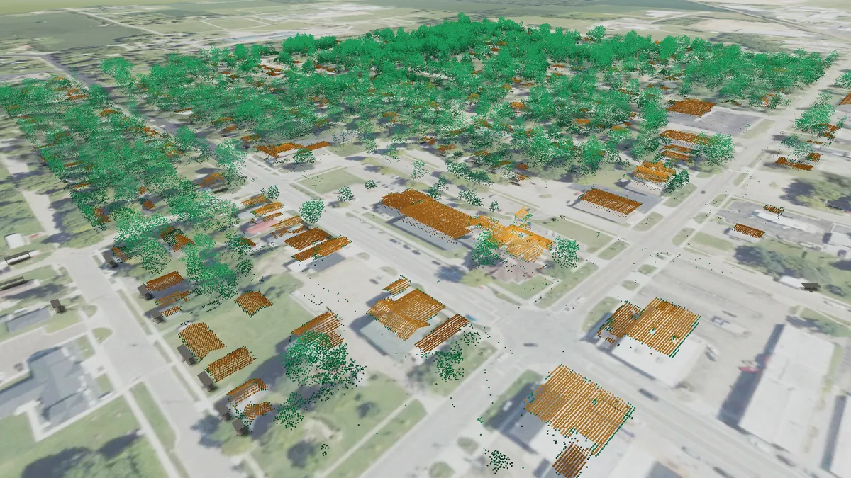
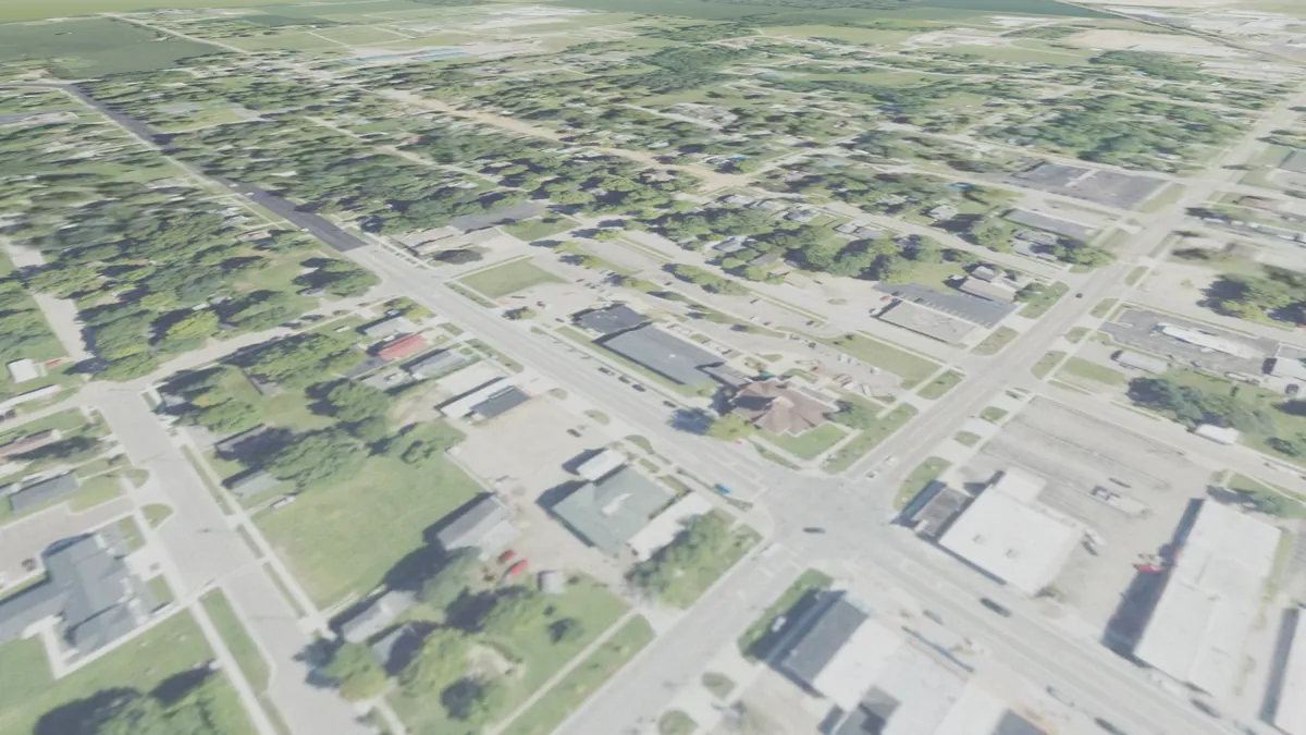
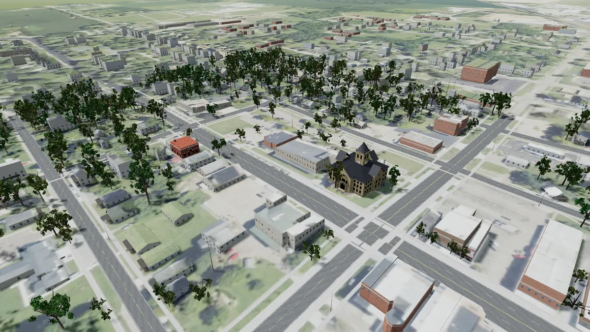
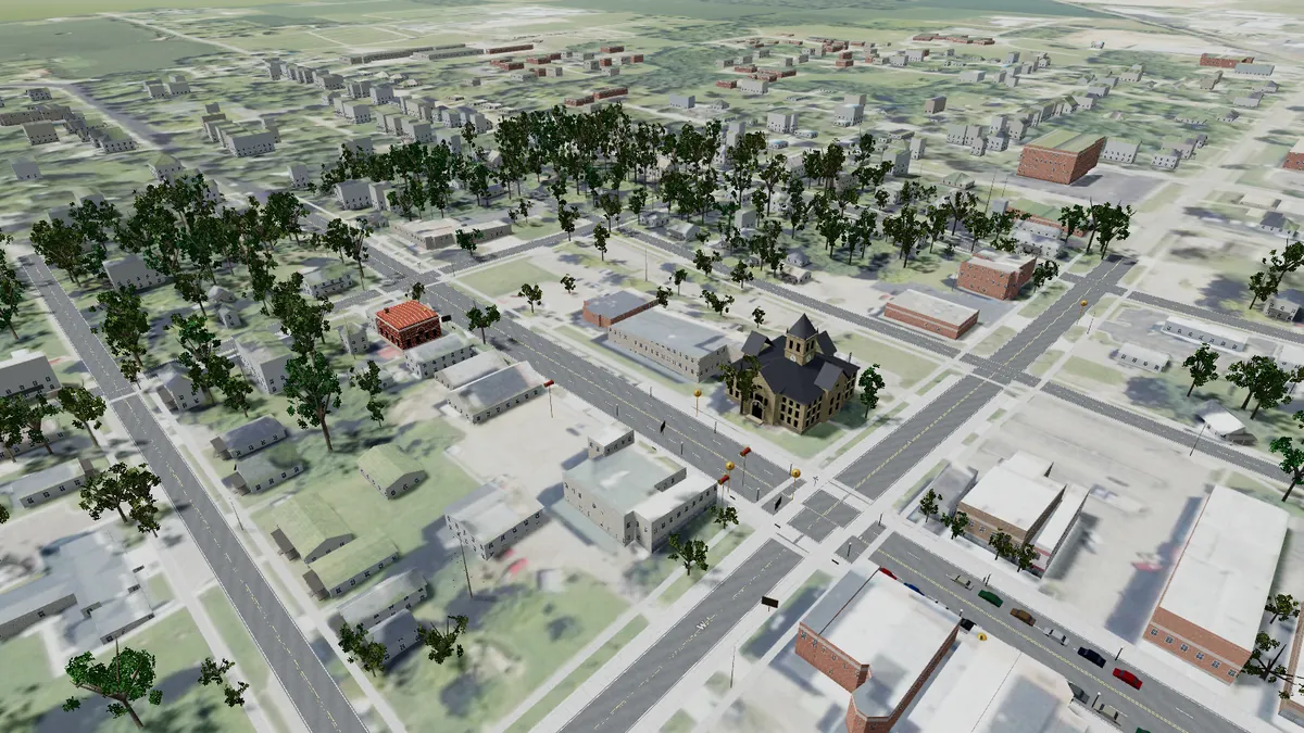
Almost all of the United States has been surveyed the same way, so the same can be done for your town, farm, lake or trail.
About this model. It is a reconstruction, built from measurements, not photographs: building heights and tree sizes come from the laser survey, the shapes of buildings from published outlines, and the colours of the storefronts from a street survey. Details such as windows, porches, cars and signs are drawn to look right, not copied from each building. Houses and businesses along the street are private property; please enjoy them from the sidewalk.
Sources: U.S. Geological Survey, 3D Elevation Program, Michigan Cass County LiDAR, 2015 (public domain): ground, building heights and trees. Aerial photograph: USDA National Agriculture Imagery Program (public domain). Building outlines: Overture Maps (Microsoft ML Buildings, ODbL) and OpenStreetMap; streets: OpenStreetMap contributors (ODbL). Shops of 1909: Sanborn Map Company, Cassopolis, Cass County, Michigan, January 1909, sheets 2–3 (Library of Congress), fitted to today’s streets; positions are good to a few metres. The 1860 plan as on the then-and-now map. Lake depths: Institute for Fisheries Research and Michigan DNR lake map 14-223. The Pioneer Log Cabin is modelled from its published measurements (the Leader, 2017) and photographs of the building. Storefront colours from a street survey; the old postcards are credited on each card. Diamond Lake’s resort years: the Diamond Lake Association’s timeline of the lake (compiled by Jean Schultz), Glover (1906), Mathews (1882) and Leader Publications (21 March 2013), as in Summer on Diamond Lake; street and place names around the lake from OpenStreetMap. 3D drawing by three.js.