Indiana · St. Joseph River Valley
Steuben County
Lake country in the far northeast corner of Indiana.
Project Scroll is an independent local-history website. This is not an official page of Steuben County or of any township, city or village in it. For official business, contact the county or local offices directly.
Welcome
Steuben County, Indiana
Steuben County is the northeasternmost county in Indiana, bordering Michigan and Ohio. It was organized under an act approved January 18, 1837, effective May 1 of that year, and was named for Baron Frederick William von Steuben, who drilled the Continental Army in the Revolution. Angola, laid out by Thomas Gale and Cornelius Gilmore, has been the county seat from the start.
About 34,000 people live here today (34,435 at the 2020 census), in a county of 105 lakes. Pick a place to begin.
Cities and towns
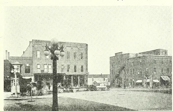 AngolaCity · The county seat Thomas Gale and Cornelius Gilmore built on a hill among the lakes.
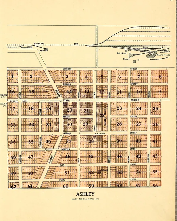 AshleyTown · The Wabash Railroad’s own town, astride the county line.
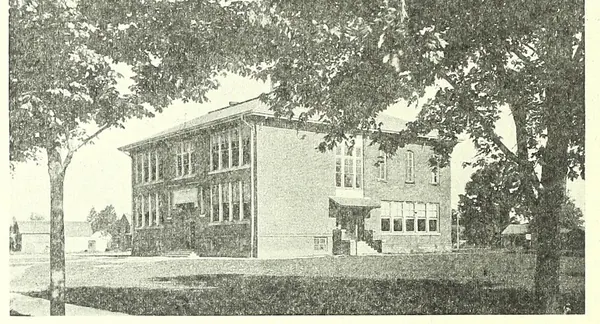 FremontTown · Willow Prairie, then Brockville, renamed for the Pathfinder.
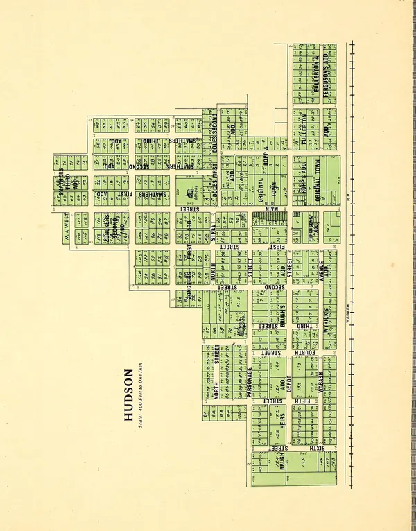 HudsonTown · North Benton on the plat, Hudson at the post office, twin to Ashley.
 OrlandTown · The Vermont settlement, named from a hymn tune.
Crossroads and hamlets
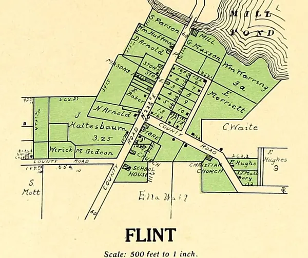 Flint
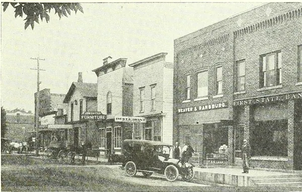 Pleasant Lake
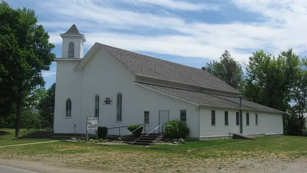 Ray
Townships
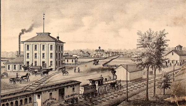 Fremont TownshipTownship · Brockville on Willow Prairie, renamed for the Pathfinder.
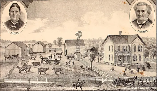 Jackson TownshipTownship · Jackson Prairie, where Steuben County began in 1831.
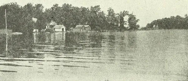 Jamestown TownshipTownship · Lake James, Lake George and a township set off in 1837.
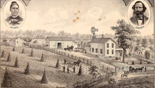 Millgrove TownshipTownship · The Vermont Settlement in the burr-oak openings, and Orland.
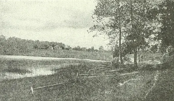 Pleasant TownshipTownship · The central township, with Angola and its lakes.
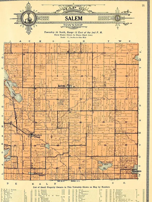 Salem TownshipTownship · Hardwood forest in the southwest corner, and the Wabash towns.
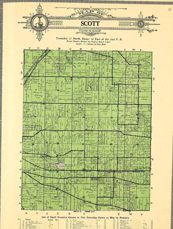 Scott TownshipTownship · Heavy timber on Pigeon Creek, set off from York in 1849.
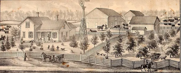 Steuben TownshipTownship · Steubenville’s county-seat dream, Pleasant Lake and Ashley.